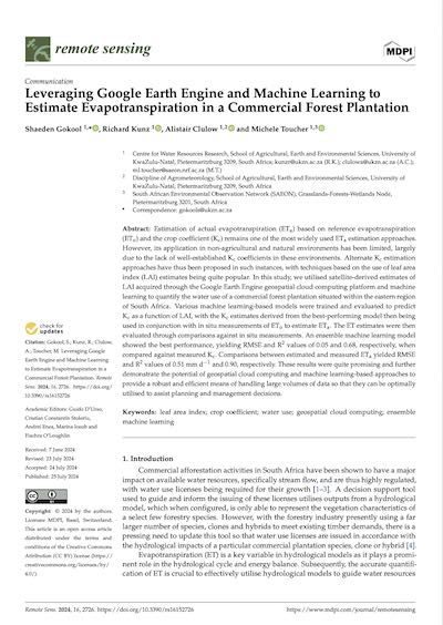
Today's article comes from the journal of Remote Sensing. The authors are Gokool et al., from the University of KwaZulu-Natal in South Africa. In this paper the researchers develop a machine-learning model that uses satellite images to help predict the ecological impact of proposed timber forests. Let's dive in.
DOI: 10.3390/rs16152726


You must be an active Journal Club member to access this content. If you're already a member, click the blue button to login. If you're not a member yet, click the sign-up button to get started.
Login to My Account
Sign Up